阿禾带着旅行册来到两河之间。一块小泥板,能讲出一座城市吗?Ahe opens a travel notebook between two rivers. Can a small clay tablet reveal how a city worked?
第 1 步:两河养活城市Step 1: Rivers support cities
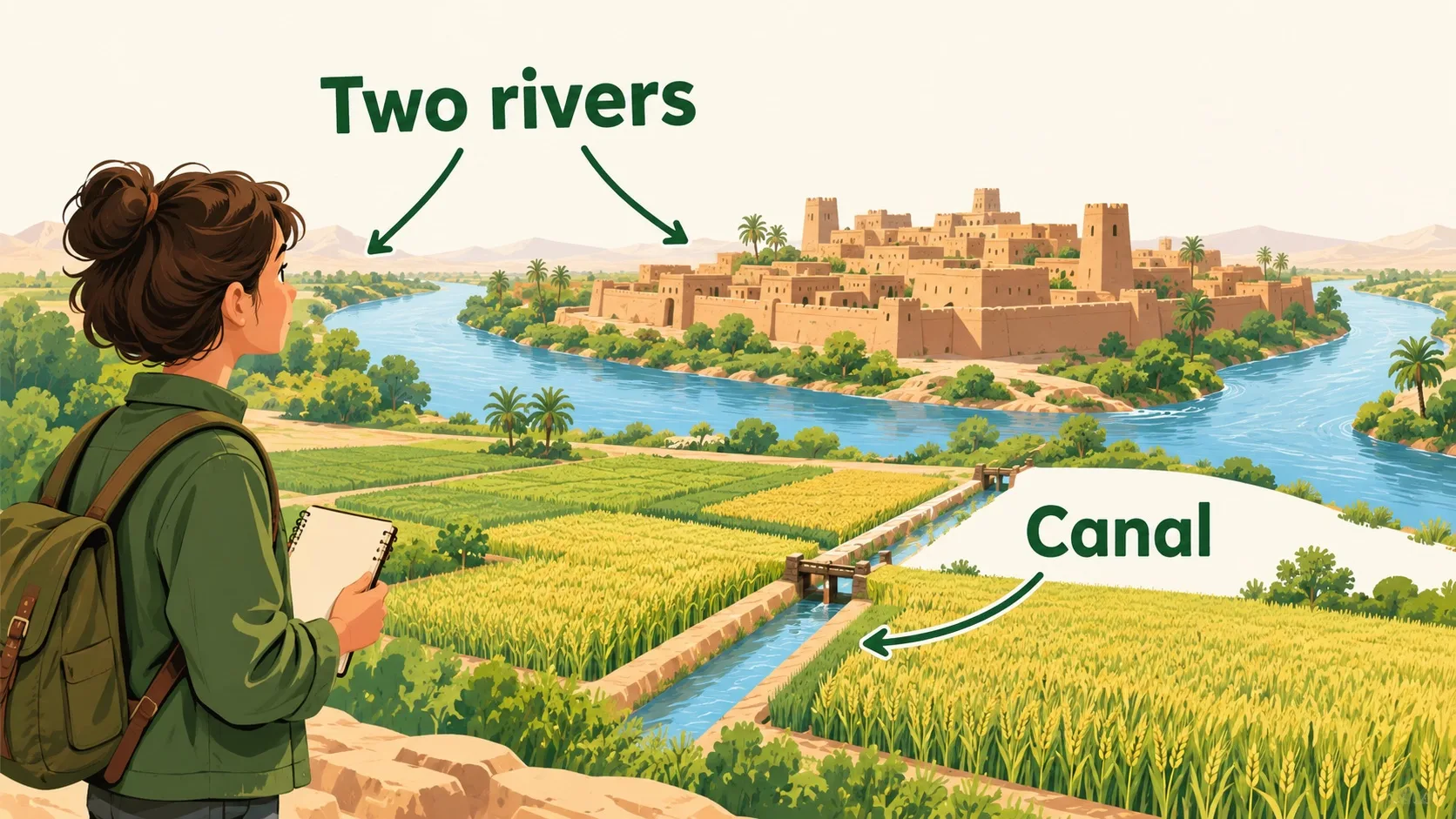
这里位于底格里斯河与幼发拉底河流域。Mesopotamia refers to the region around the Tigris and Euphrates.
农人修渠引水,种植谷物。两河并不总温顺。修渠和分水,需要很多人合作。这里经历多个时代,并非一个固定国家。Farmers channelled water to their fields. Floods and shortages made cooperation important. Many cities, peoples and states occupied the region over time. It was not one unchanging country.
第 2 步:泥板留下账本Step 2: Clay preserves accounts
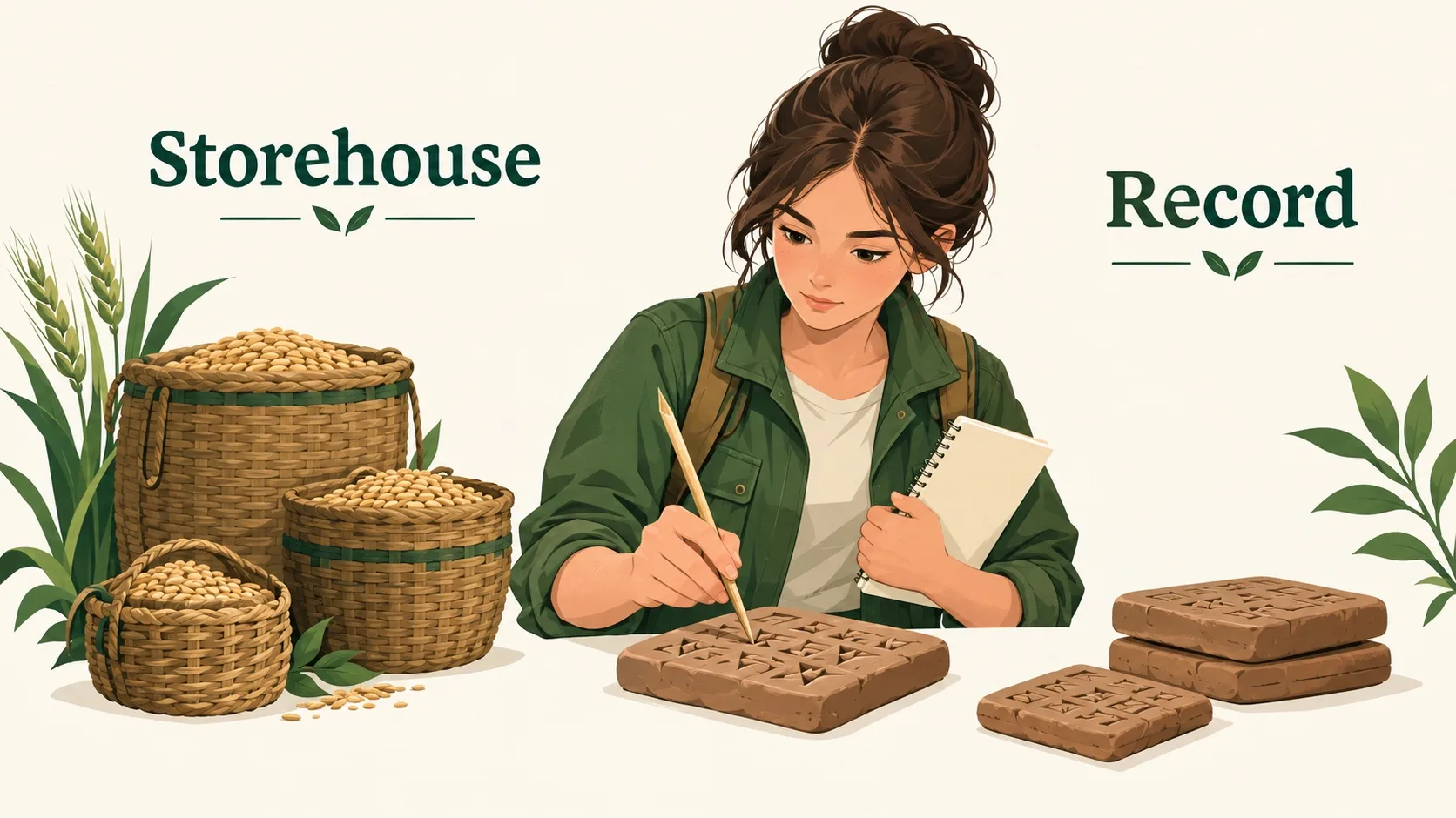
粮仓收了多少大麦?书吏用泥板记录。How much barley entered the storehouse? Scribes kept records on clay.
芦苇笔压出楔形笔画。楔形文字后来记录故事和法律。泥板会碎,却比口头记忆更易保存。Reed tools pressed wedge-shaped marks. Over time, cuneiform recorded literature and laws as well as accounts. A tablet could preserve information beyond the memory of one person.
第 3 步:一城也要连着邻城Step 3: Cities need neighbours
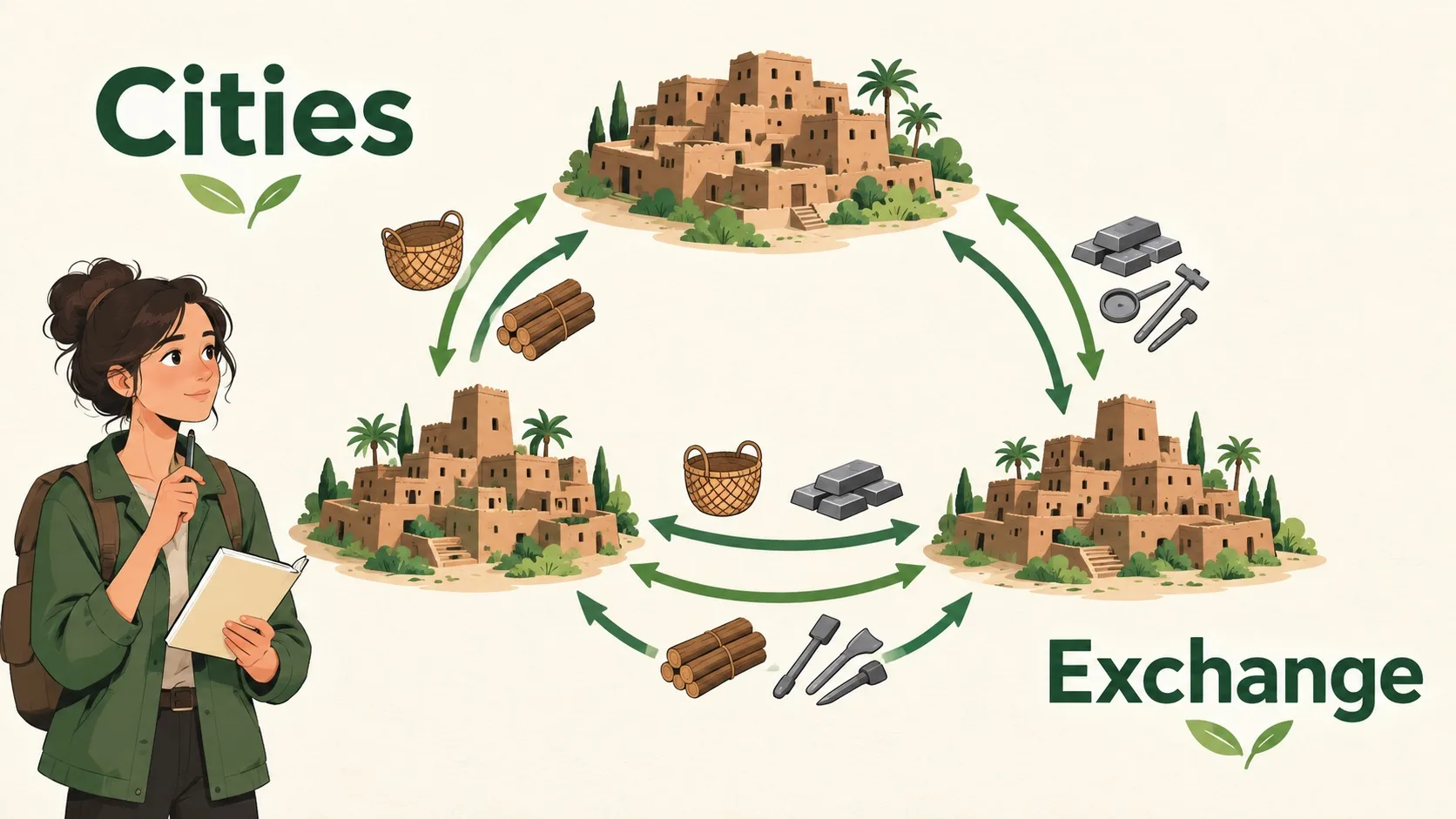
阿禾把粮食、木材和金属画在图上。Ahe maps grain, timber and metal.
南部平原缺少某些原料。商路把不同地区接起来。交易、迁徙与战争都改变城市。研究时要对照泥板和遗址。Southern plains lacked some building materials and ores. Exchanges connected different regions. Migration and conflict also changed cities. Archaeologists compare written records with material remains rather than trusting a single story.
🎮 让城市互相支持🎮 Connect the city’s needs
按任务说明连好四条关系。依次点起点和终点;再次点击同一对可取消。图是关系示意,不是地理地图。Build the four relationships described below. Select a start and an end; repeat a pair to remove its link. This is a relationship diagram, not a geographic map.
一句话记住它:两河流域不是单一国家。Remember: The region was not one state.
两河流域不是单一国家。The region was not one state.楔形文字兼有记账与叙事用途。Cuneiform served accounts and stories.合作与冲突都留下证据。Cooperation and conflict left evidence.
依据上述公开资料编写 · AI 辅助制作 · 发现问题欢迎指正,帮这片叶子长得更好。Based on the public sources above · AI-assisted production · Spotted a problem? Tell us — help this leaf grow.
 Back to tree